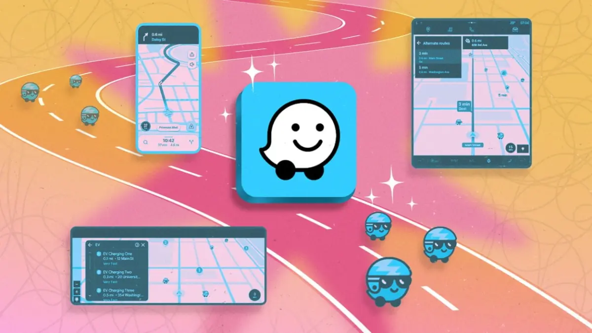
Digital navigation tools have fundamentally transformed daily travel, evolving from basic digital line art into sophisticated real-time transit networks. While traditional applications such as Google Maps and Apple Maps excel at delivering straight-line directions and standard destination searches, crowdsourced platforms offer a distinct operational model. Waze, a subsidiary of Google, relies heavily on community-driven insights to monitor changing road conditions, dynamic hazards, speed checks, and temporary lane closures. By continually aggregating real-time feedback from millions of active drivers on the road, the platform attempts to dynamically outmaneuver unexpected traffic slowdowns rather than simply reporting them after gridlock sets in.
However, many drivers utilize Waze purely as a standard turn-by-turn map app, leaving its most versatile personalization options untapped. Fully leveraging Waze requires moving beyond its default settings to configure custom alerts, route preferences, background processes, and privacy parameters. Understanding these underlying mechanics allows drivers to refine their navigation experience, minimize commute times, reduce behind-the-wheel distractions, and maintain tighter control over their personal location data.
Synchronizing Calendars for Real-Time Departure Management
One of the central challenges of daily commuting is predicting how fluctuating traffic patterns impact scheduled appointments. Standard calendar tools calculate static travel times based on historical distances, often failing to account for spontaneous road congestion, accidents, or sudden lane restrictions. Waze addresses this disconnect by integrating live traffic monitoring directly into driver schedules through its "Time to Leave" framework.
The platform allows motorists to set up advance departure notifications for individual trips or automate the process entirely by linking their digital calendars. When synchronized, Waze continuously scans the user’s default calendar application—or a designated third-party alternative—for upcoming events that contain a valid physical address. By assessing current location data against live traffic flow along the planned route, Waze calculates the exact moment a driver must hit the road to arrive on time.
To enable this functionality, calendar entries must contain precise, navigable address strings that the mapping engine can recognize. Once synchronized, drivers select the option to plan a drive within the application, transforming a static appointment into a dynamic, real-time departure alert that updates automatically as traffic conditions evolve throughout the day.
Configuring Safety Reminders and Personalized Threshold Alerts
Modern vehicle cockpits contain numerous digital distractions, making clarity and timely notifications essential for safe driving. Waze incorporates specific internal notification systems designed to mitigate driver oversight, including customizable safety reminders and automated speed limit monitoring.
A key internal tool within the application is the "child reminder" alert system, developed as a safety mechanism to prompt drivers to check the rear seat for children before exiting the vehicle. Beyond its vital primary function, this alert system is fully customizable, enabling motorists to adapt the pop-up notification for broader routine uses. By navigating through the settings menu to the reminders section, users can input custom text strings to create tailored exit notifications. For example, drivers frequently setting out on multi-stop errands can program reminders to retrieve groceries, remove sensitive cargo, or double-check equipment before walking away from the vehicle.
Settings > Reminders > Child reminder > Custom messageIn addition to exit reminders, managing vehicle speed in areas with unexpected or fluctuating speed limit changes remains a major operational challenge for drivers. Speed limits frequently drop near construction zones, school sectors, or municipal boundaries, increasing the risk of accidental speeding and subsequent traffic citations. Waze addresses this by offering user-configurable speedometer thresholds.
Settings > Speedometer > Show speedometerWithin the speedometer configuration menu, drivers can set a specific numerical threshold above the posted limit that will trigger a visual or audible warning. Enabling the "Alert at threshold" setting forces Waze to sound a distinct notification whenever the vehicle’s calculated GPS speed exceeds the chosen limit, offering an immediate auditory cue to adjust momentum before entering higher-risk enforcement zones.
Streamlining Visual Data and Managing Background Operations
While crowdsourced navigation thrives on high volumes of community report data, an overabundance of map icons can rapidly lead to cognitive overload. In heavily populated urban centers or dense highway corridors, endless user-submitted reports regarding minor roadside debris, stalled vehicles on shoulders, or local law enforcement sightings can obscure critical route details on small dashboard displays.
Waze automatically prioritizes incoming hazards using internal weighting metrics, but drivers retain complete manual control over which alerts actually generate visual map markers and audible prompts. By opening the "Alerts and reports" section under settings, users can curate their active display parameters. Disabling low-priority notifications—such as minor roadside hazards or non-disruptive construction—allows the map interface to retain visual clarity, ensuring that critical warnings regarding heavy accidents or full road closures remain front and center.
Settings > Alerts and reports > ReportsFor motorists who prefer the visual presentation or interface design of rival mapping platforms like Google Maps or Apple Maps, Waze can also be deployed as a background alerting utility. By activating the "Alert while driving" toggle within the alerts menu, drivers can launch their primary preferred navigation application on their screen while Waze runs silently in the background. In this hybrid operational mode, Waze monitors the live route and issues real-time audio warnings and temporary display pop-ups when significant hazards or traffic traps are detected ahead, delivering the benefits of crowdsourced data without forcing drivers to abandon their primary mapping interface.

Integrating HOV Pass Infrastructure and Optimizing High-Risk Routing
Urban transportation networks increasingly rely on high-occupancy vehicle (HOV) corridors, express lanes, and electronic toll passes to manage overall traffic density. Standard navigation tools frequently fail to maximize these specialized lanes unless users explicitly indicate their access privileges. Waze mitigates this by allowing drivers to enter specific toll pass subscriptions and vehicle occupancy details into its route optimization engine.
Settings > Toll and HOV passesThrough the toll and HOV settings interface, motorists can select from a wide array of regional transit passes and express subscriptions. When these passes are mapped into the application, Waze calculates route efficiency by including access to restricted express lanes, variable-rate toll corridors, and dedicated bypass lanes that non-pass holders cannot legally use. Furthermore, for lanes that require minimum vehicle occupancy rather than a physical transponder, drivers can adjust passenger counts directly within the route selection view, granting the routing algorithm the ability to steer the vehicle into HOV lanes when criteria are met.
Beyond managing fast lane access, Waze offers specialized routing parameters designed to enhance safety by eliminating high-risk traffic maneuvers. Complex intersections—such as non-signalized major road crossings, multi-lane left turns across unprotected traffic, or difficult merge points—are a leading cause of traffic friction and urban collisions.
Settings > Navigation > Avoid difficult intersectionsBy toggling the "Avoid difficult intersections" setting to "Always," drivers instruct the navigation engine to bypass challenging maneuvers in favor of safer, stress-reduced alternatives. The algorithm recalibrates the route to prioritize traffic lights, multi-lane roundabouts, and protected right-turn maneuvers, even if doing so adds a negligible fraction of time to the overall trip. Drivers can also set broader permanent bypass rules within this menu to consistently avoid toll roads, passenger ferries, major freeways, or unpaved dirt roads.
Media Player Integration and Custom Voice Navigation
In-car infotainment systems often require driver interaction across multiple competing applications, creating physical and visual distractions when switching between navigation maps and audio software. To minimize app-switching while behind the wheel, Waze includes a unified internal audio platform that bridges communication with third-party streaming services.
Settings > Audio player > Show on the mapThe embedded audio widget links directly to installed media applications, allowing drivers to play, pause, skip, and manage tracks directly from an overlay icon positioned on the Waze map display. Supported services include major platforms such as Spotify, YouTube Music, and Pandora. Because Waze is developed under Google’s software umbrella, native integration for competing services like Apple Music is notably omitted, requiring users on that platform to manage media externally.
To further personalize the driving experience, Waze features an expansive library of voice navigation prompts that extend beyond standard robotic direction reading. Drivers can substitute default navigation cues with localized accents, custom language options, or promotional celebrity and character voice profiles. Past promotional releases have included custom voice lines from figures such as Bill Hader portraying the Cat in the Hat, as well as musician Ziggy Marley.
Speaker icon > Current voiceFor drivers seeking absolute customization, the platform also includes an internal recording utility that permits users to record their own voice prompts for individual navigation commands, ensuring that turn cues match exact personal preferences.
Managing Profile Privacy, Visibility, and Location Logs
Because Waze operates as an active, crowdsourced social mapping network, it collects substantial amounts of location telemetry and user activity data to keep road reports accurate. However, this community-driven structure also raises valid privacy considerations for motorists who prefer to keep their travel patterns, online status, and personal data hidden from public view.
To address these concerns, Waze incorporates a localized privacy control center within its main settings interface. Drivers seeking to reduce their digital footprint can opt out of targeted advertising parameters and disable profile broadcast features that share real-time driver locations on public maps.
Settings > PrivacyEnabling "Invisible mode" prevents the application from displaying the user’s public profile—including their username, selected custom mood icon, profile image, and active online status—to other surrounding Waze users on the shared map screen. While Invisible mode shields public visibility, the application continues to process underlying GPS data in the background to deliver accurate directions and traffic monitoring.
Additionally, drivers retain manual authority over their stored travel history within the application. Through the privacy management menu, users can selectively delete individual search queries, clear saved destination histories, and wipe logs of recent drives entirely, ensuring that past routine travel routes are systematically removed from the device’s local memory.